Scouting With Drones
Jun 01, 2022

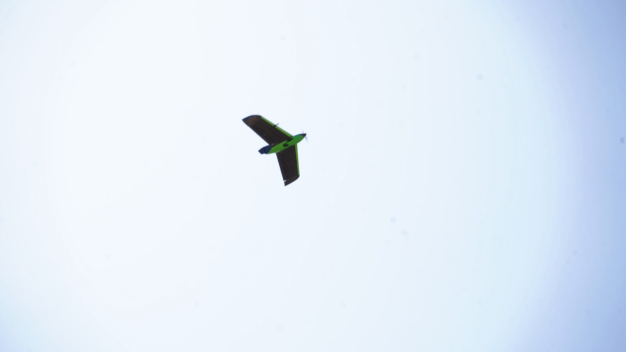
Crop scouting plays a vital role in producing a cost-effective , good-yielding crop. For many years , scouts have used random areas to check the health of crops , but with the use of drones and imagery , a more precise method can be used for scouting. Drones or UAVs (unmanned aerial vehicles) come in many different configurations , and at GreenPoint Ag , we are currently utilizing fixed wing drones and quadcopters with NDVI cameras. Drones can be utilized throughout the whole growing season , from stand counts to estimating yield.
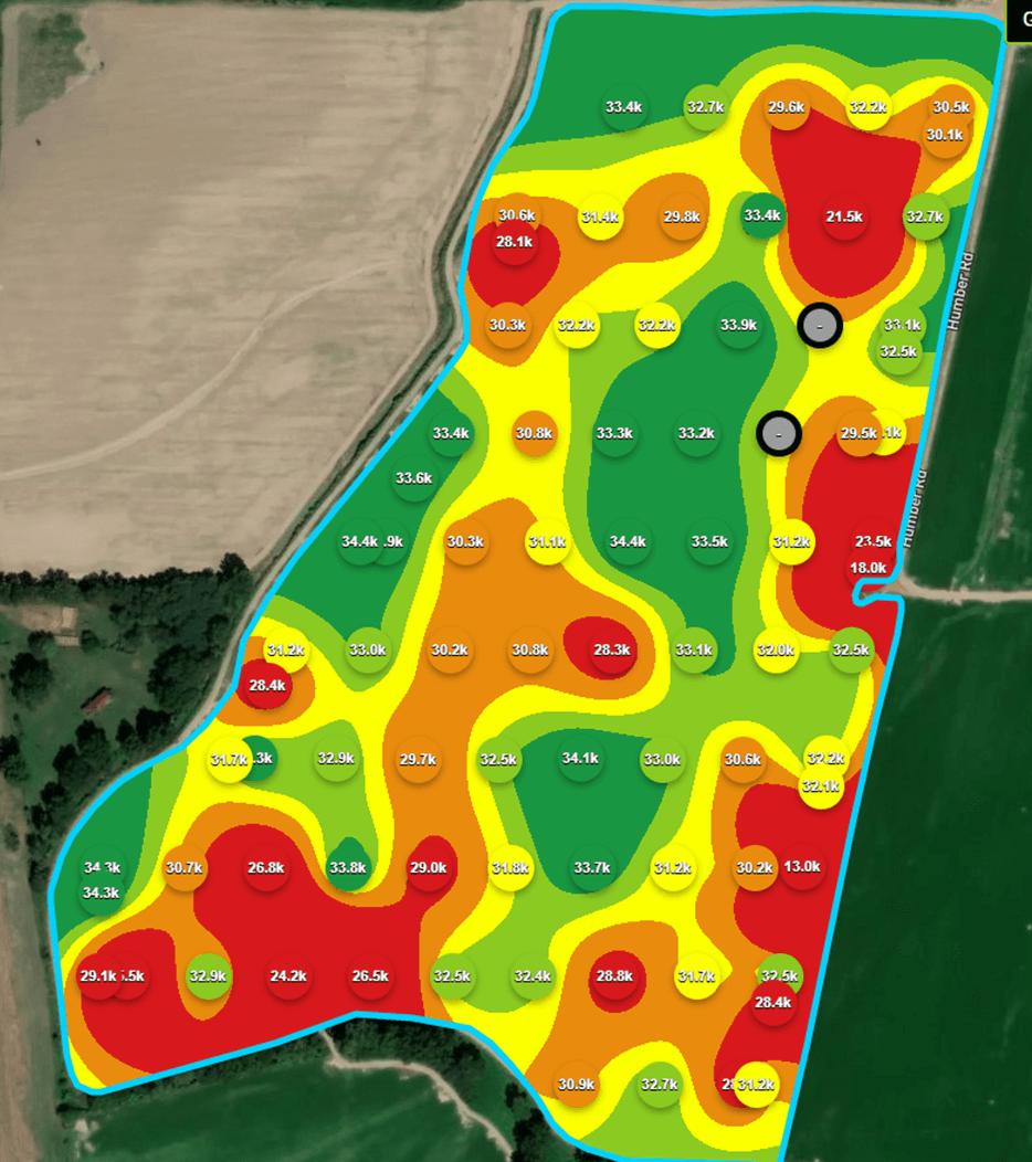
We can currently perform stand counts in corn , cotton , and soybeans with the potential of more crops to come. While many scouts will take 6 to 10 stand counts per field , we can take multiple stand counts every 1.3 acres. When the stand counts are completed , a map is generated with the average population per photo taken. Each photo can be selected with the image to verify the stand count. With the option to validate the data , we have been able to work with the software company to continue improving the program's accuracy.
Scouting in season with a drone can greatly improve efficiency and accuracy as drones can identify drainage , irrigation , insect pressure , weed pressure , fertility issues , and much more. With winged drones , images can be taken at 400’ allowing several hundred acres to be done in a matter of minutes. A zoned map will be created from NDVI imagery , allowing the scout to see the problem areas and use a GPS to observe the zones. Images can then be analyzed and converted to zone maps for controllers so variable rate applications can be made. Drones give the scout a birds-eye view that is often missed when crops get tall and troubled spots can be hidden.
While drones do not replace boots on the ground , they offer guidance for scouting. The more representative observations are , the better decisions can be made that better represent the field. Drones give the scout the ability to catch issues sooner , treat smaller areas of the field , and improve decisions
Reach out to your GreenPoint Ag Ag Technology Representative for more information on drone scouting in your fields.
